# Bin\_spatial Turkey
**URL:** https://forum.atmospherictoolbox.org/t/bin-spatial-turkey/394
**Category:** HARP
**Created:** [September 13, 2021, 8:37am UTC](https://forum.atmospherictoolbox.org/t/bin-spatial-turkey/394 "2021-09-13T08:37:00Z")
**Posts on this page:** 2
**Page:** 1
### Author:  [@aksoy](https://forum.atmospherictoolbox.org/u/aksoy)
#### Post date: [September 13, 2021, 8:37am UTC](https://forum.atmospherictoolbox.org/t/bin-spatial-turkey/394/1 "2021-09-13T08:37:00Z")
no2\_turkey=
harp.import\_product(S5P\_OFFL\_L2\_\_mysateliteimages.nc,
operations=“latitude \> ? [degree\_north]; latitude \< ? [degree\_north];
tropospheric\_NO2\_column\_number\_density\_validity \> 75;bin\_spatial(?,-?,0.5,?,-
?,0.5)”,
post\_operations=“bin(); squash(time, (latitude,longitude))”)
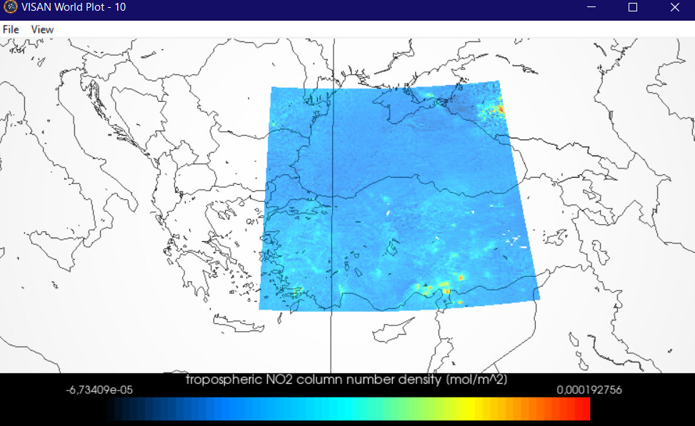
I want to adapt the above command line to cover turkey.
? I couldn’t choose the marks properly
Turkey’s mathematical position; 26°-45° east meridians, 36°- 42° north parallels.
Thank you very much in advance to the expert who will help.
---
### Author:  [@aksoy](https://forum.atmospherictoolbox.org/u/aksoy)
#### Post date: [September 13, 2021, 10:18am UTC](https://forum.atmospherictoolbox.org/t/bin-spatial-turkey/394/2 "2021-09-13T10:18:08Z")
I think I found the answer
harpconvert -a “bin\_spatial(1000,36,0.01,2000,26,0.01)” S5P\_OFFL\_L2\_\_NO2\_\_\_\_20210228T101518\_20210228T115648\_17508\_01\_010400\_20210302T040523.nc l15.nc