Dear Sander, dear all forum users,
I wish to make some daily gridded files for the GOME2AB SO2 operational GDP4.8 product. I am using :
harpmerge -o ‘detailed_results=SO2;corrected=true;so2_column=2.5km’ -ap ‘bin_spatial(361,-90.,0.5,721,-180.,0.5);derive(latitude {latitude});derive(longitude {longitude});derive(SO2_column_number_d
ensity [DU]);derive(SO2_slant_column_number_density [DU]);exclude(weight,solar_zenith_angle_weight,SO2_column_number_density_count)’ -a ‘keep(latitude_bounds,longitude_bounds,SO2_column_number_dens
ity,solar_zenith_angle, cloud_fraction,SO2_column_number_density_validity, scan_direction_type, SO2_slant_column_number_density); solar_zenith_angle <= 75; cloud_fraction <= 0.2; scan_direction_ty
pe==0’ -l $filename outputfile.nc
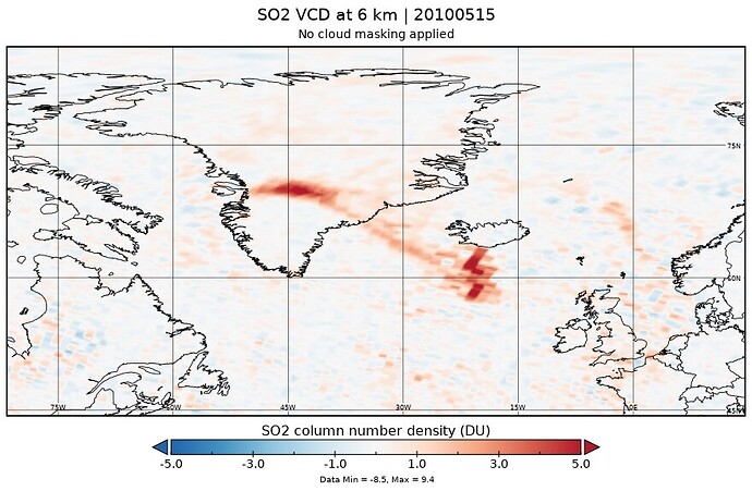
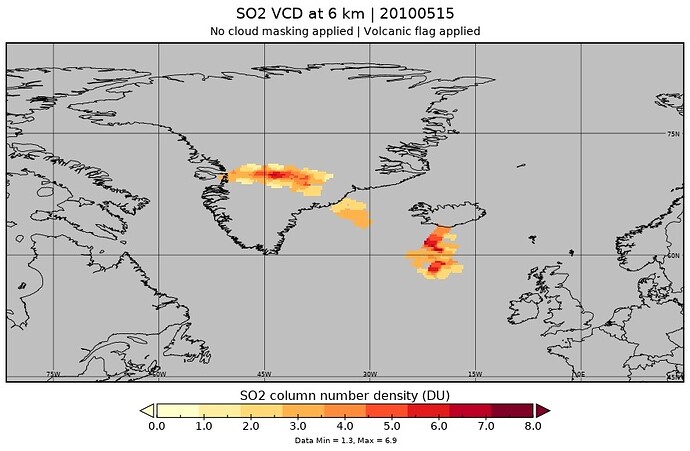
Is there a way to filter only for the SO2_flag using harpmerge as such, via the command line and not via python i.e. using both harp ingest and coda_fetch and then merging? for this product, for the 2.5km placing SO2_column_number_density_validity==0 is fine as I am not interested in the volcanic component. But when I use so2_column=15km I also wish the volcanic pixels left untouched, which requires a different kind of filtering.
Many thanks!
MariLiza


