Hi Sander,
Thank you very much.
As for *, I thought it could be something like that. Luckily, there are ways to deal with it.
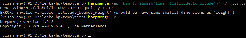
As for HARP version, I do have 1.9.2 and get the weight error anyway.
Any ideas how can I solve this?
I’ve opened the daily averaged files in QGIS and checked the Layer Properties; for latitude_bounds_weight, it shows Dimensions X: 2 Y: 230 Bands: 1; while for weight (as well as *tropospheric_NO2_column_number_density etc), it’s X: 720 Y: 230 Bands: 1
The daily averages were generated according to the RUS Training using, e.g.,
harpmerge -ap 'bin(); squash(time, (latitude,longitude))' -a 'latitude > -55 [degree_north]; latitude < 60 [degree_north]; tropospheric_NO2_column_number_density_validity > 75; bin_spatial(231,-55,0.5,721,-180,0.5); derive(longitude {longitude});derive(latitude {latitude})' ./ ../../Processing/NO2/l3_NO2_20190124_quality_75.nc